
Local knowledge sought for new Strathblane flood study
Stirling Council has commenced a new study to develop a fuller understanding of the flood risk for Strathblane.
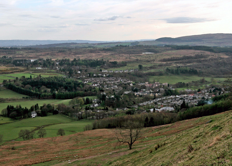
Strathblane and Blanefield were badly hit by separate incidents of heavy rain downfall during 2019.
In an effort to create more accurate flood maps for the area, the council is asking for the community’s help to provide any historical flooding information they may have.
Councillor Jim Thomson, convener of the environment and housing committee, said: “I would strongly encourage anyone with knowledge of flooding incidents in the Strathblane area to take part in this new survey.
“The flooding incidents last year, and extreme weather we have seen in only the past few weeks, show how important it is that we gather as much information as possible to develop a fuller understanding of flood risk in the Strathblane area.”
Anyone with knowledge or photographs of flooding in the Strathblane area is being asked by the council to contribute to the study, which is available here.
The project has been split into two stages:
- Stage 1: focuses on the mapping of flood risk and the development of a short list of options to address areas at risk.
- Stage 2: will use Scottish Government and SEPA guidance to assess the economic benefits of these options and the potential for the council to promote flood alleviation measures.
Vice convener, Councillor Danny Gibson, said: “The Strathblane flood study is one of a range of flood studies that we have commissioned to determine the extent of flood risk within the Stirling region.
“To be able to test potential measures to address flooding in Strathblane we require the community’s help. I would urge anyone with local knowledge or photographs of flooding to take part in the new flood study and provide us with these important details.”